Today, exactly 100 years ago Poland reappeared on the map. After 123 years of partitions (Prussia, Russia, Austria-Hungary) our ancestors made our country independent again. Thank you. If it had not been for you, we would have been speaking German and Russian now. Well, being born in Eastern Poland, i would master Russian for sure.
Population – 35th in the world
Area – 69th in the world
Not so bad! Although we used to be bigger (see the map below). ?
Visit Poland. Polish is fun! And remember: w Szczebrzeszynie chrząszcz brzmi w trzcinie.
The city with biggest Polish population? Chicago, i think 🙂
Map of Poland(s) – before 1795 and after 1918

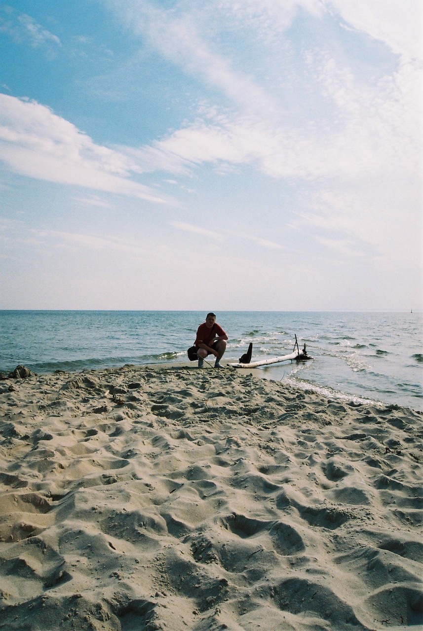
Złotoria – this is where my Mother was born. There is Narew river behind the barn. A place for having fun all year long (swimming, skating)
Bohdan – this is where my Dad was born (on the picture from left: Grandmother, Aunt, Grandfather)

Białystok – my hometown

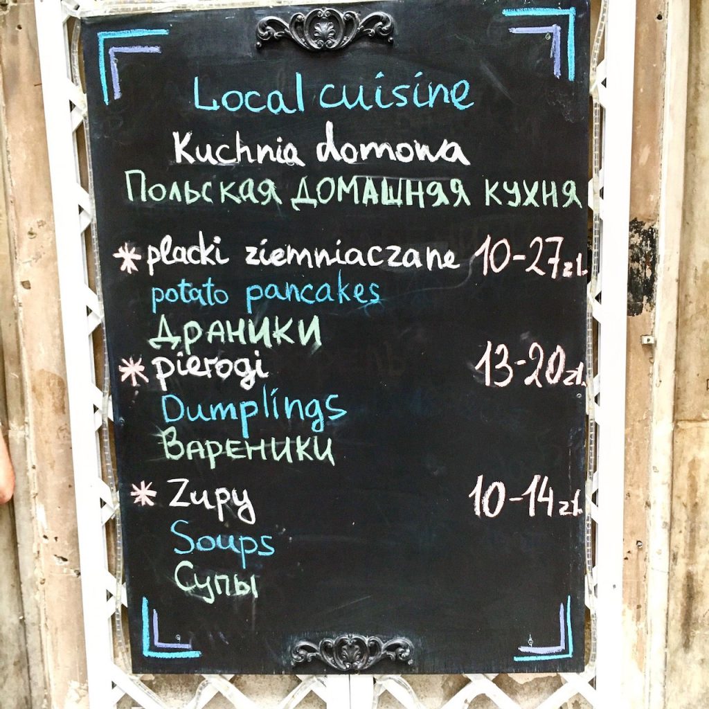
Polish cuisine. We love raw beef tartare, we love potato and pierogi

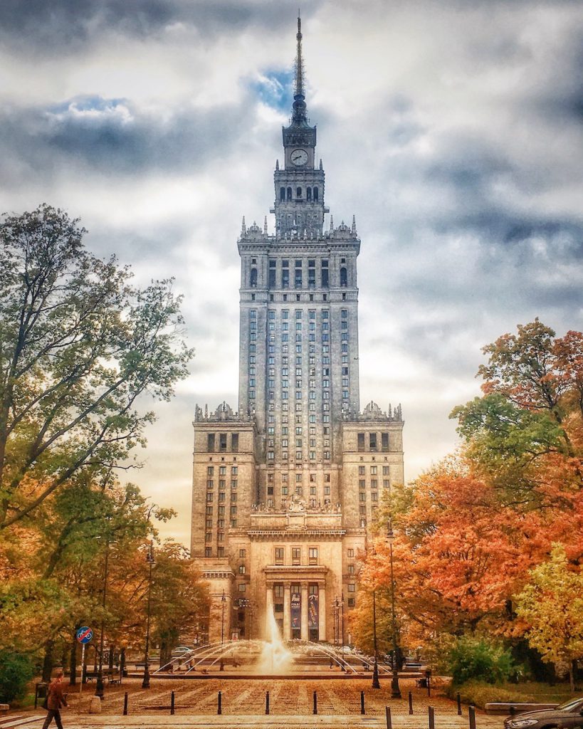
Warsaw – capital city, the biggest city in the country


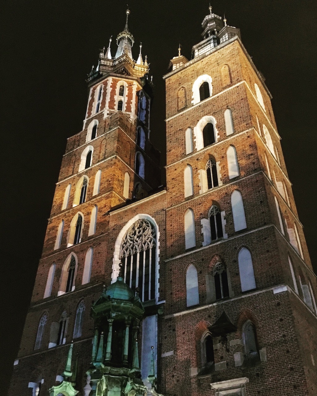
Cracow – former capital city until 1596
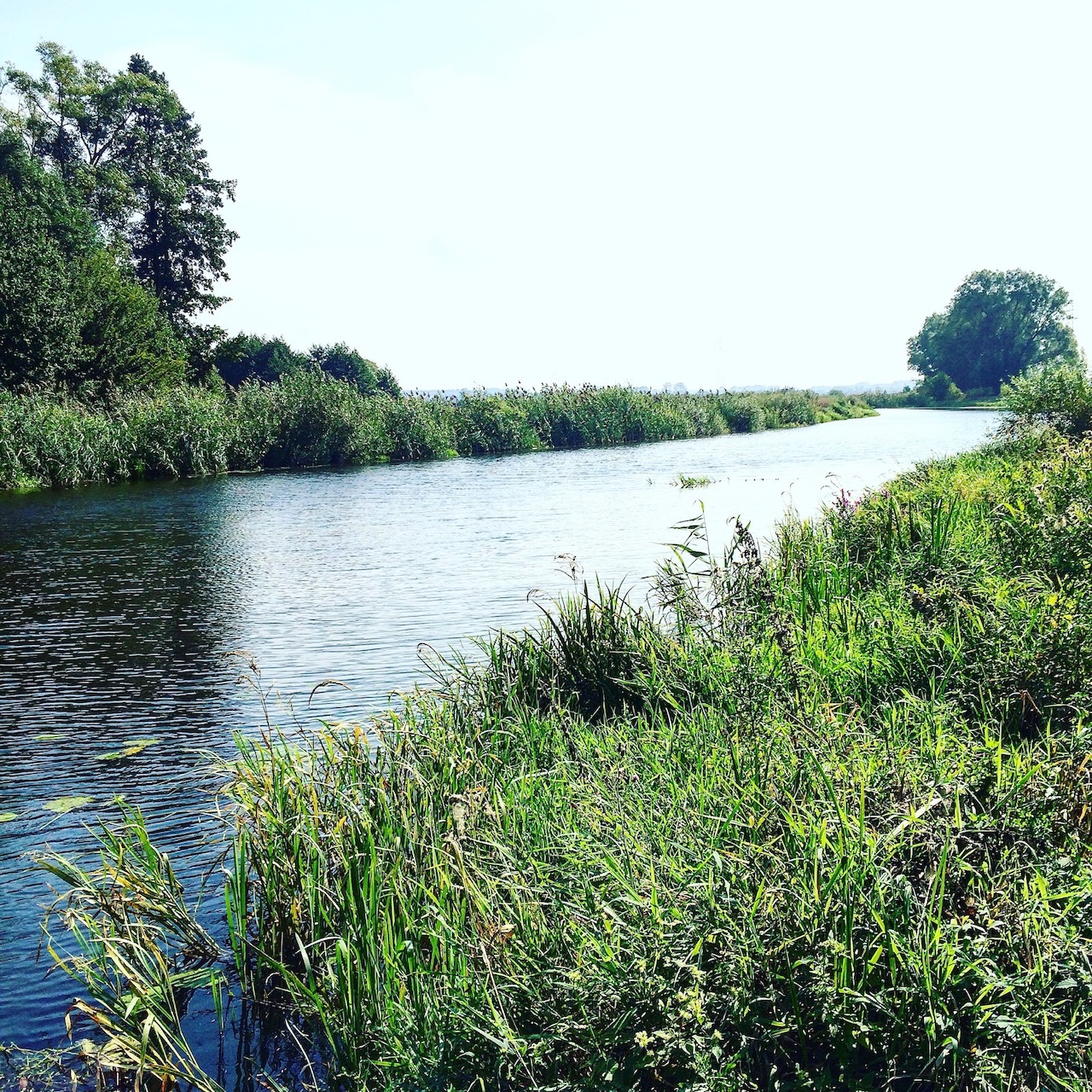
Narewka – village in eastern Poland. Mesmerising place


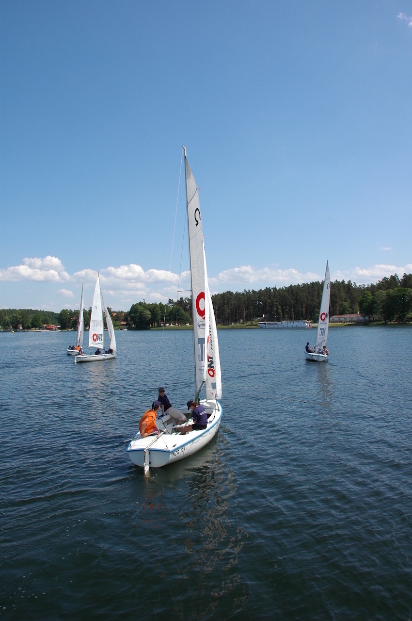
Lake District – NE of Poland
Stańczyki – two large railway viaducts (now defunct)

Southern Poland – the mountains
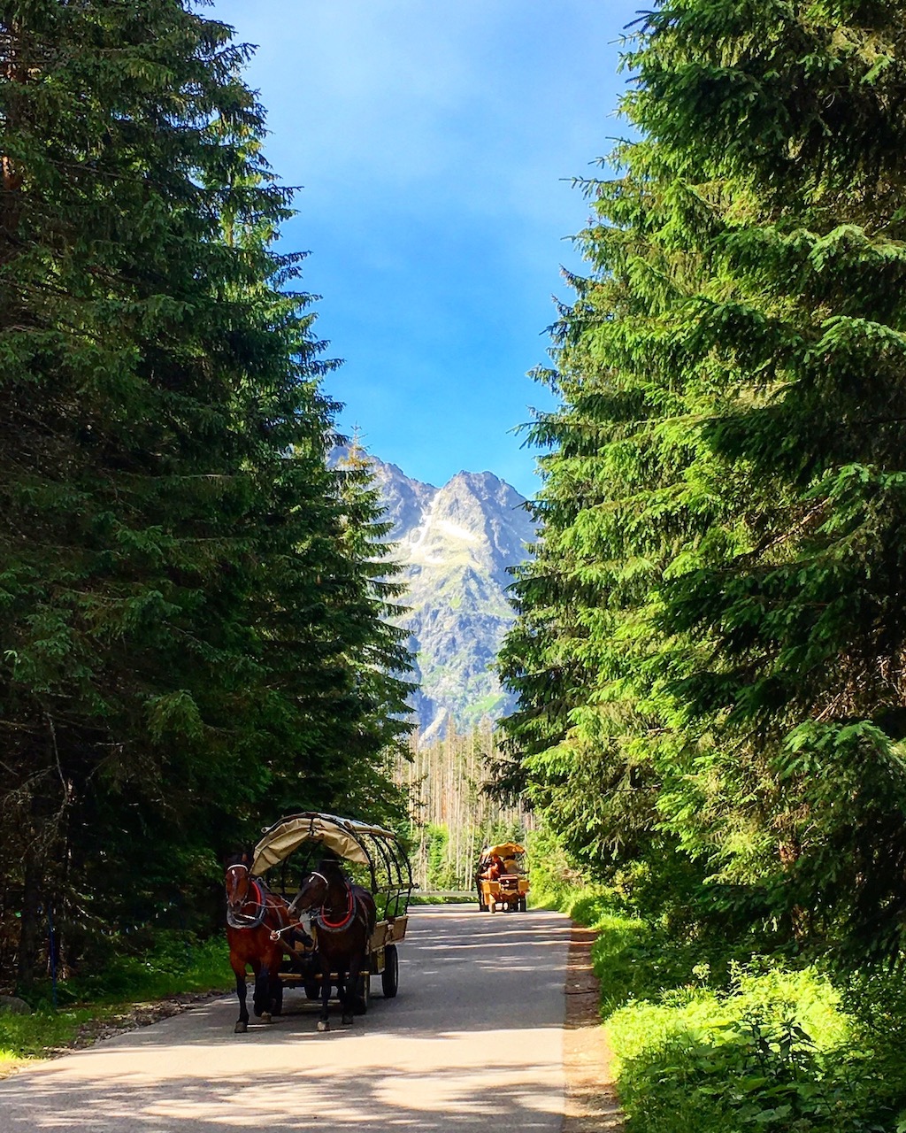
Tatra Mountains

Tatra Mountains – on my way to the Eye of the Sea
Panorama of Tatra Mountains
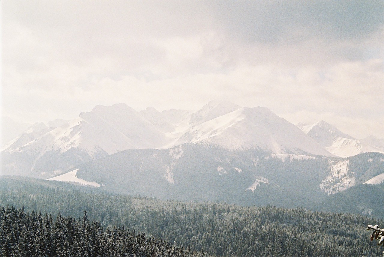
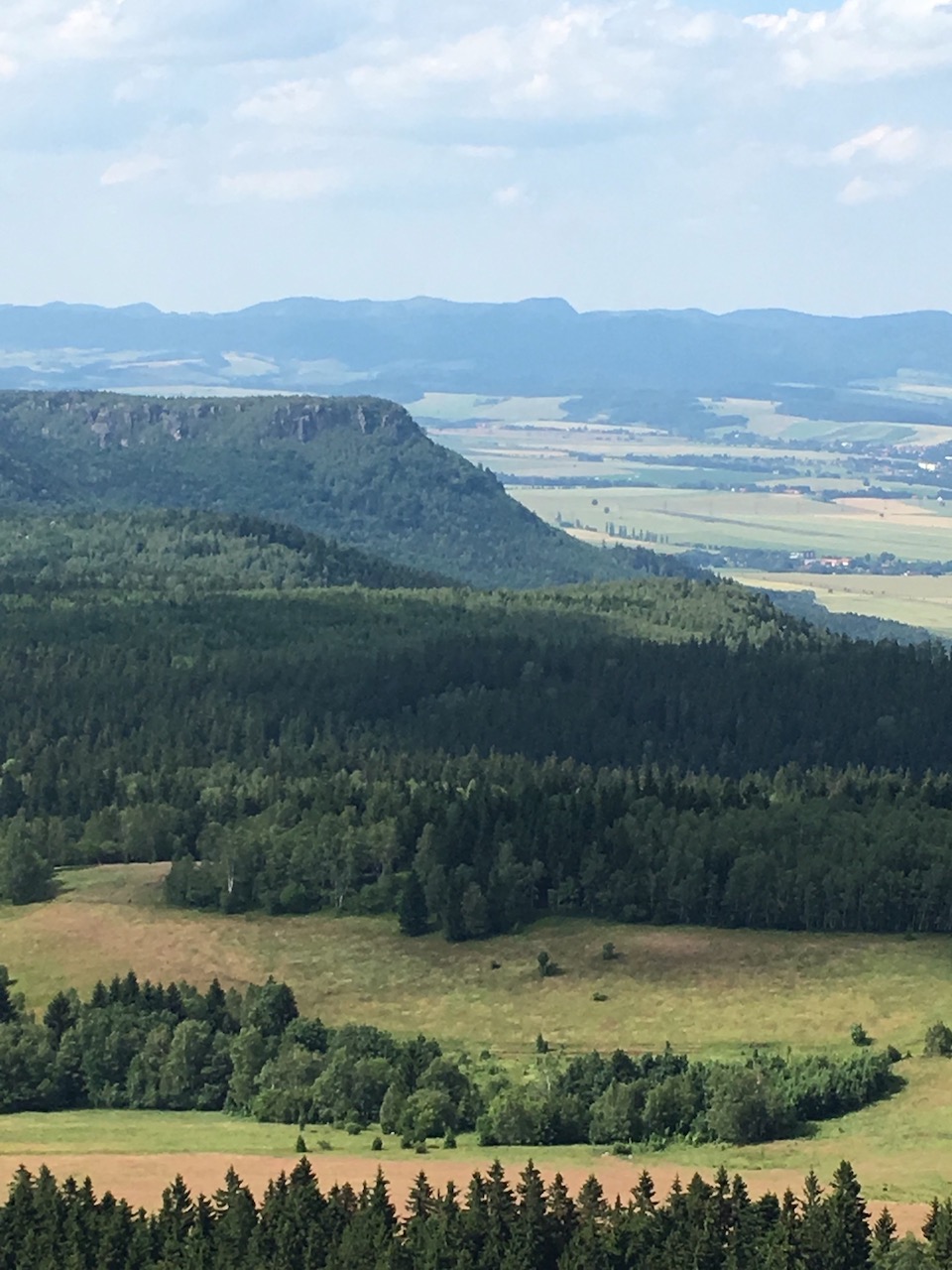
Table Mountains
Łódź – the city in central Poland

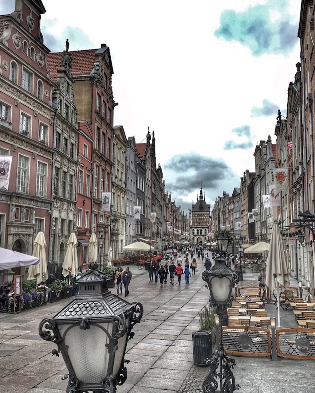
Gdańsk/Danzig – the city in northern Poland
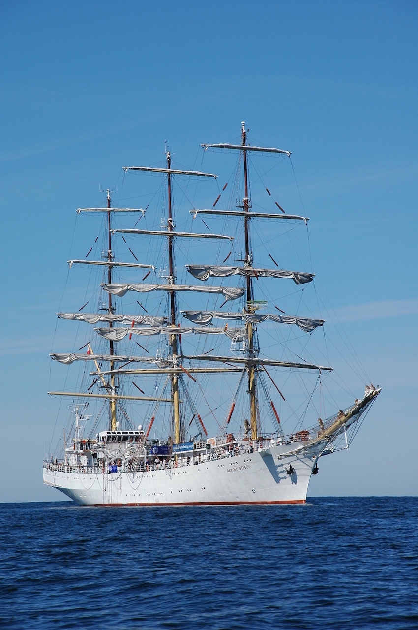
The Gift of Youth sailboat – amazing cruise from Gdynia to Tallin (2007)
Hel – the end of Poland (north)